-
 Panoramic
-
 Military forts
-
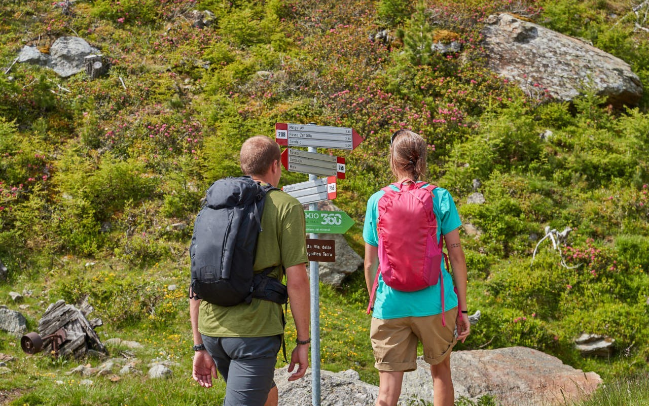
 Precious stones
The name of this stage derives from the discovery of finds of considerable mineralogical value by Don Zaccaria, Sondalo's parish priest from 1878 and passionate about history.
On the trail you can find several minerals, including Anatase, Apatite, Tourmaline, Zircon, native Arsenic, and Quartz, extracted from the still active quarry. In the first section, you can admire the view over Valdisotto and Bormio, and then continue on the military mule trail that overlooks the Val Pola landslide of 28 July 1987. The remains of the trenches are clearly visible.
Details
This panoramic stage begins at Alpe Zandilla, which can be reached from Monte in 40 minutes on foot. The first section heads uphill along a series of bends, reaching 2,300m above sea level at the foot of the Zandilla pass. The area is full of First World War military trenches. From an opening through the rocks made by the military a long descent begins along a spectacular set of stairs cut into the mountainside. Continuing on you reach the edge of the Val Pola landslide, a place of haunting beauty, until you reach Baite dell’Alt. From here take the forest road to the Morelli Hospital in Sondalo, an extraordinary feat of landscape architecture and urban design unique in Italy and throughout Europe, then on to Sommacologna and finish at the Palazzetto dello Sport. There are no refreshment stops along this stage, so we recommend bringing suitable clothing and a packed lunch.


Details
The stage, a brand new panoramic trail, begins at Alpe Zandilla, which can be reached from the little village of Monte. After an initial ascent along a section of medium steepness, there is a long traverse with a mix of uphill and downhill sections, until you reach an opening created by the military between the rocks and a spectacular flight of steps where you need to be very careful and should carry your bike. In this area you can find a number of First World War trenches among the rocks. Continuing on you reach the edge of the Val Pola landslide, a place of haunting beauty, followed by a long descent into the valley via the Baite dell’Alt. From here take the forest road to the Morelli Hospital in Sondalo, an extraordinary feat of landscape architecture and urban design unique in Italy and throughout Europe, then on to Sommacologna and the Palazzetto dello Sport where the stage ends. There are no refreshment stops along this stage, so bring suitable clothing and a packed lunch.
Charging points: Alpe Zandilla, Sondalo.

Photogallery